In order to make a comparison between the ads you need to at least 2 ads.

About Gündoğmuş
About Gündoğmuş:
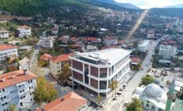
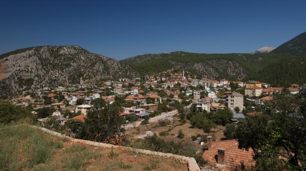
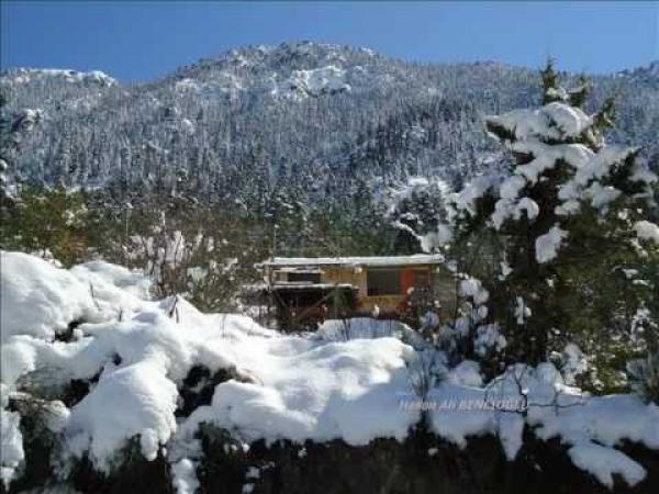
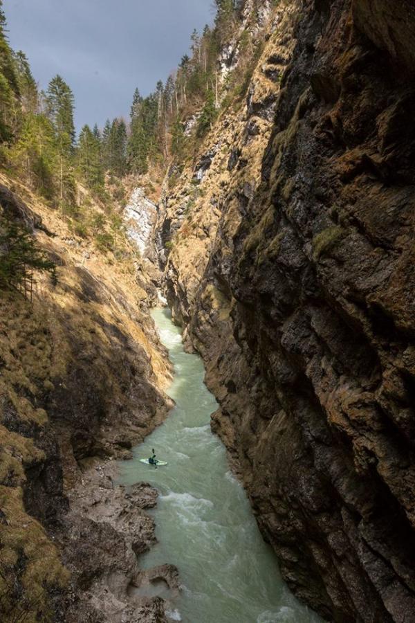
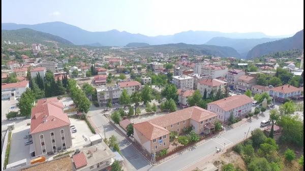
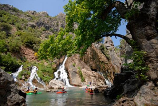
Gündoğmuş district of Antalya is located at the foot of the Geyik Mountain, at the western Taurus Mountains. The surface area is 1,323 km² and the altitude is 900. Mountainous areas are covered with forests. Alara tea divides the district in the east - west direction. Although the Mediterranean climate is dominant in winter, it shows a little more continental climate. That's why it goes a little hard in the winter. 182 km to Antalya. Gündoğmuş district, away from Akseki - Manavgat Highway 32 km. Asphalt is connected in an asphalt way.
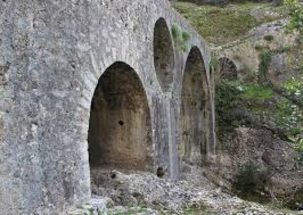
The present day of Gündoğmuş, which dates back to ancient times, was inhabited during the Romans. Roman ruins within the boundaries of the town, the ruins of Kaseyir City in the Taşahır area, the Roman ruins in the Kese area near the village of Senir are the oldest ruins. In later periods, especially after the Malazgirt Victory, during the Turkification of Anatolia, the city remained under the sovereignty of the Seljuks, and during the reign of Beyazıt II, the city joined the lands of the Ottoman Empire.
According to a rumor, a family separated from Konya's Iksile Village for various reasons is said to have settled in this region and then it was called Eksere. Eksere Village was a village connected to Akseki until 1936, and in 1936 the district was called Gündoğmuş. According to 2015 data, Gündoğmuş population is 7.583.
About Gündoğmuş,About Gündoğmuş,About Gündoğmuş,About Gündoğmuş,About Gündoğmuş,About Gündoğmuş,

marinaemlak.com, All Rights Reserved.